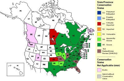
NatureServe
 Interactive map Interactive map
 Report Report
|
NatureServe Explorer - Species Database |
 NatureServe Surveyor - Screen For Threatened And Endangered Species NatureServe Surveyor - Screen For Threatened And Endangered Species
|
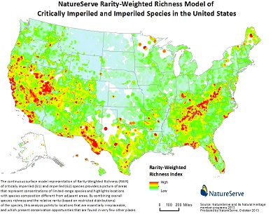
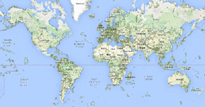
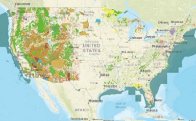
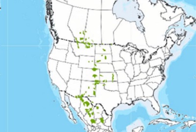
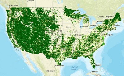
Species Rarity-Weighted Richness |
EPA
Report |
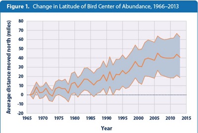
Climate Change Indicators - Bird Range Changes |
Birdlife International
Interactive map |
Important Bird Areas |
National Audubon Society
Interactive map |
Important Bird Areas |
Clinton N. Jenkins, Instituto de Pesquisas Ecológicas
Report |
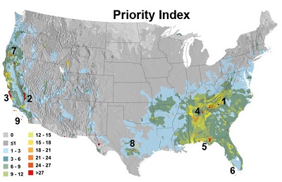
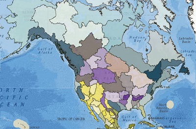
Biodiversity Priority Index |
Alliance for Zero Extinction
Interactive map |
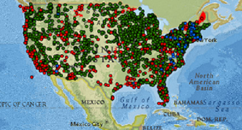
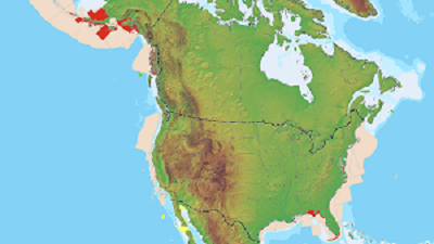
Endangered or Critically Endangered Species |
Commission for Environmental Cooperation
Interactive map |
 Species of Common Conservation Concern Species of Common Conservation Concern
|
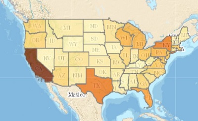
State Wildlife Action Plans
Report |
State Wildlife Action Plans |
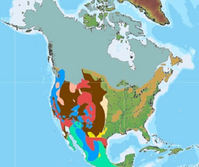
The Nature Conservancy
Interactive map
 Data download Data download
|
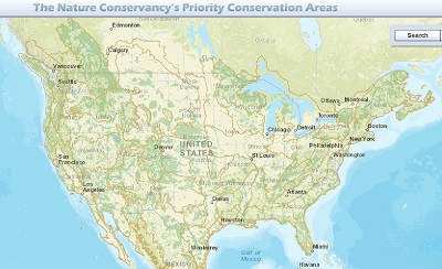
Priority Conservation Areas |
IUCN
Interactive map |
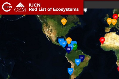
Red List of Continental Ecosystems |
USGS
Interactive map
Data download
|
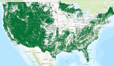
National Gap Analysis Program (GAP) and Protected Areas Database |
Biodiversity Information Serving Our Nation (BISON) |
Biodiversity a-z
Report
|
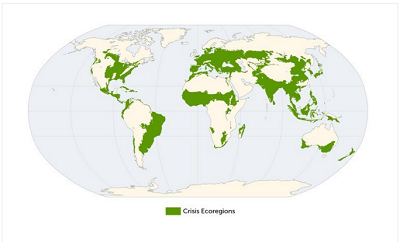
Biodiversity Crisis Ecoregions |
Conservation Biology Institute
Interactive map
Data download
|
Landscape Structural Connectivity |
U.S. Fish & Wildlife Service
Interactive map
Data download |

Critical Habitat |
Western Governor’s Crucial Habitat Assessment Tool
Interactive map
|
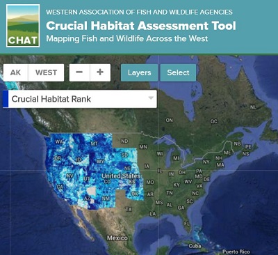
Crucial Habitat Assessment Tool |
World Database on Protected Areas
Interactive map |
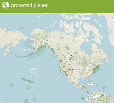
Worldwide Protected Areas |
Wildlife Habitat Council
Interactive map
|
Conservation Programs |
National Conservation Easement Database
Interactive map
Data download
|
Conservation Easements |
Commission for Environmental Cooperation
Interactive map |

Terrestrial Protected Areas |
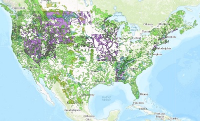
North American Grassland Priority Areas |
NatureServe
Interactive map
Data download
|
LandScope Conservation Priorities & State Wildlife Action Plans |
EPA
Interactive map
ArcGIS toolbox
Report |
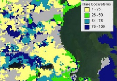
EnviroAtlas Report - Rare Ecosystems |
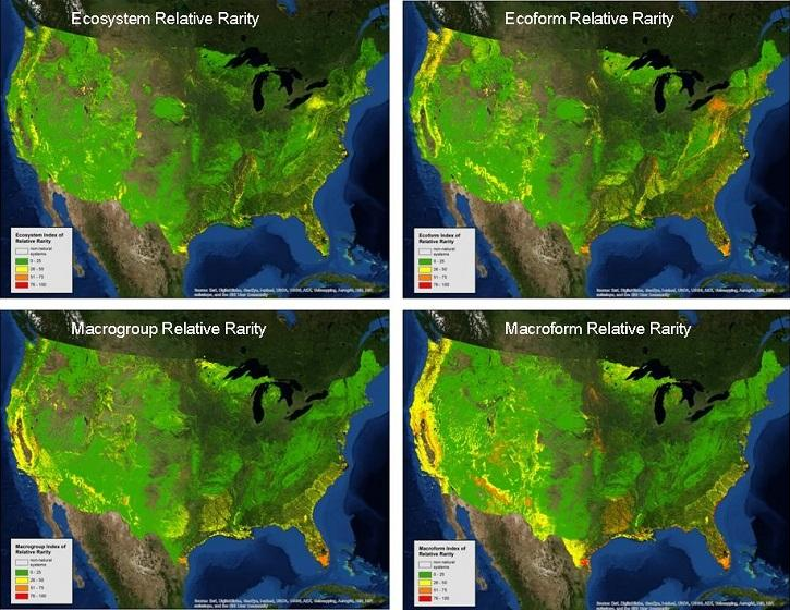
EnviroAtlas Toolbox - Rare Ecosystems |
National Ecological Framework and Priority Ecological Areas |
World Wildlife Fund & the Nature Conservancy
Interactive map |
Freshwater Ecoregions of the World |
The Nature Conservancy & NatureServe
Report |
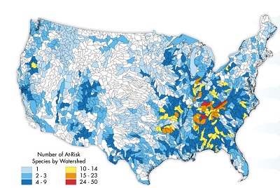
Rivers of Life: Critical Watersheds for Freshwater Species |
Commission for Environmental Cooperation (CEC)
Interactive map
|
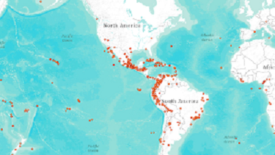
Marine Protected Areas |
Freshwater Ecoregions of the World
Interactive map
|
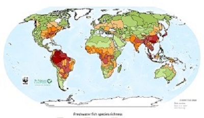
Freshwater Species Richness |
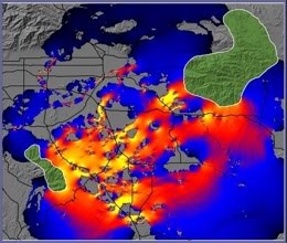
NOAA
Interactive map |

Essential Marine Fish Habitat |
Circuitscape
GIS Toolkit |
Linkage Mapper |
Joint Research Centre
GIS Toolkit |
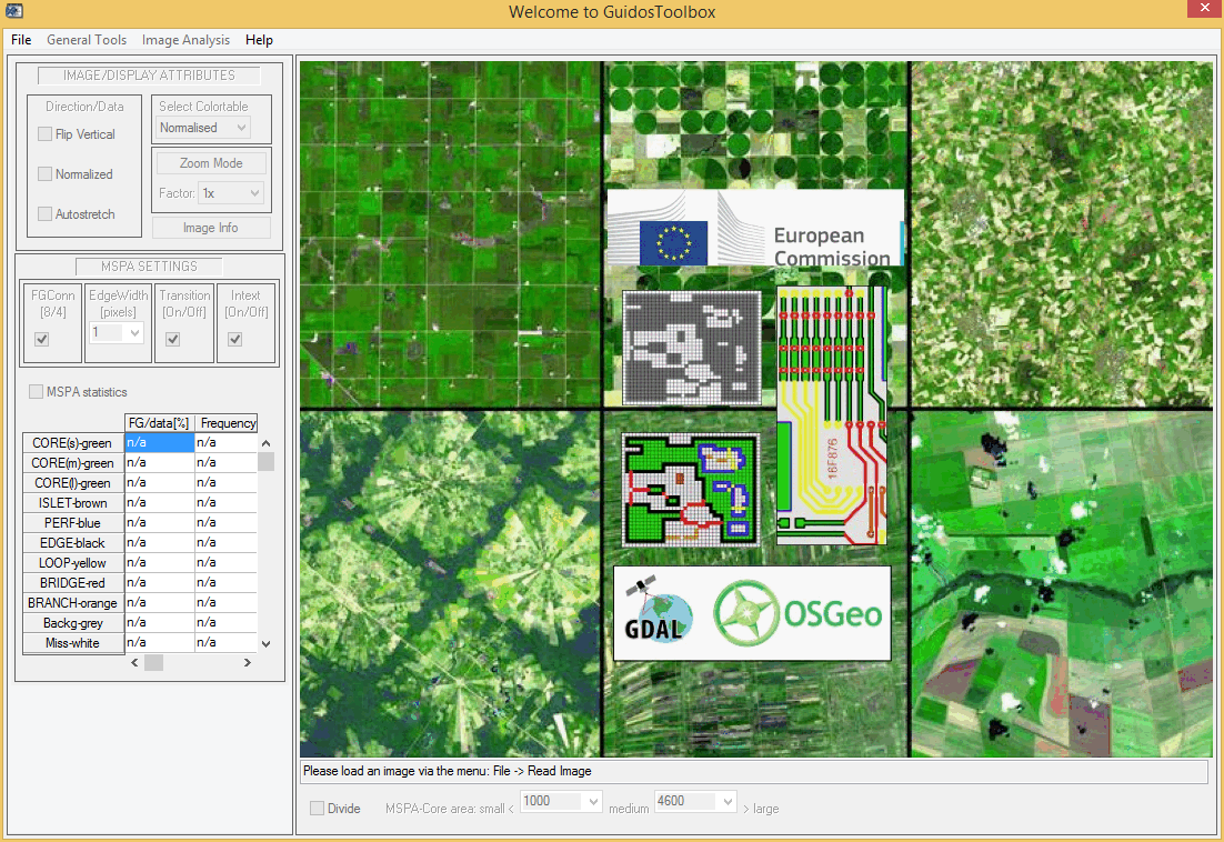
Guidos Toolbox (Graphical User Interface for the Description of image Objects and their Shapes) |